
Seal Beach Neighbors by Record
A block is not one record set. For Seal Beach neighbors, an address gives a starting point, then each keeper adds a different kind of clue. OC Land Insights and the Associated Documents Map show land geometry and APNs, or assessor parcel numbers. Assessment and tax records connect a parcel to an assessed owner or tax-mail relationship. RecorderWorks follows recorded parties and instruments. City files add permits and hearings. Aggregate election maps show civic geography, while community contacts identify governance channels without releasing a member list.
| Source | What It Shows About a Block | Access |
|---|---|---|
| OC Land Insights / Associated Documents Map | Touching parcels, APNs, street geometry, tract and survey context, flood or annexation layers | Free interactive official maps |
| Assessor and tax records | Assessed owner context, physical (situs) address, tax status, and mailing relationship parcel by parcel | Address or APN search, counter, or scoped request |
| RecorderWorks | Recorded ownership history, liens, maps, covenants and restrictions, parties, document types, and dates | Free 1982-present index; office images and paid copies |
| Seal Beach permit and planning files | Construction, entitlement, hearing, applicant, owner, or contractor clues when present | City repository plus targeted request |
| OC Vote aggregate maps and data | Precinct, district, city, year, and registration statistics | Public aggregate views; individual street data restricted |
| Neighborhood and HOA (homeowners association) contacts | Community boundaries, governance, public officers, and contact routes | Public references; member lists generally private |
| Older reverse directories | A published householder or business at an address for a particular year | Library or local-history help; exact Seal Beach run unverified |
A block-level lookup stays reliable when each source is kept in its lane. A deed owner can be an entity or trust. A tax mailing address can point elsewhere. A permit may name an applicant, owner, or contractor. A parcel can be vacant, multiunit, or occupied by people not named in the record. Renter and household-member information is not comprehensively indexed. Use the record to form a question, not to declare who lives at a location.
Map Seal Beach Neighbors by Parcel
The adjacent-parcel method begins with one physical site. Seal Beach neighbors can be compared parcel by parcel, but not assumed from a radius. OC Land Insights allows a researcher to zoom to a Seal Beach parcel, while the Associated Documents Map adds city, document-type, date, APN, legal-description, parcel-address, and road-right-of-way labels. Pan across both sides and behind the subject parcel. A touching polygon may be a road right-of-way, federal land, common area, or separate unit, and the legal description matters when geometry is unclear.
- Search or zoom to the subject address, then enlarge the map until parcel polygons and labels are visible.
- Click the subject polygon and each touching or nearby polygon. Turn on APN, legal-description, parcel-address, and parcel-number labels as needed.
- Use Draw and Measure to mark a block or radius, then copy every neighboring APN and its tract, lot, or other legal reference.
- Look up each APN separately in the tax or assessment system, comparing the situs, mailing destination, and assessed owner context.
- Use the resulting name or document reference in RecorderWorks and check city files for address-specific planning or permit history.
The working flow is address to APN, APN to parcel-specific records, parcel to recorded party, then party to a dated document. RecorderWorks does not advertise an address search, so the name and deed trail begins only after the parcel has been resolved. For a whole named street, the Seal Beach street directory handles consecutive address work. The block method stays narrower and avoids treating an entire street as one household group.
Note: The parcel service displays assessment identifiers, not resident names, so the APN must be carried into each keeper's search.
Seal Beach Neighbors, APNs, and Owners
The Orange County Assessor property gateway is not an unrestricted owner-name web directory. It sends public users toward ParcelQuest, an outside service whose fields and terms may vary, while the county confirms counter access at 500 S. Main Street, 2nd Floor, Orange. The stable web keys are property address and APN. The Treasurer-Tax Collector search offers property address, APN, or Tax Default Number for secured or supplemental bills. A tax bill shows parcel and tax status, but its mailing destination may be a management office, trust, post-office box, or another residence.
An APN is an assessment identifier, not a legal description or proof of title. Match it to the tract, lot or block, parcel map, or deed language. A homeowners' exemption can support an owner's claimed principal residence, but it does not name other occupants. When the mailing address differs from the situs, treat that difference as a clue for next research, not proof of occupancy. The same caution applies when an owner name appears in a recorded document: ownership and occupancy are separate questions.
The Orange County real-estate fraud alert explains the county's warning and alert service for recorded property activity.
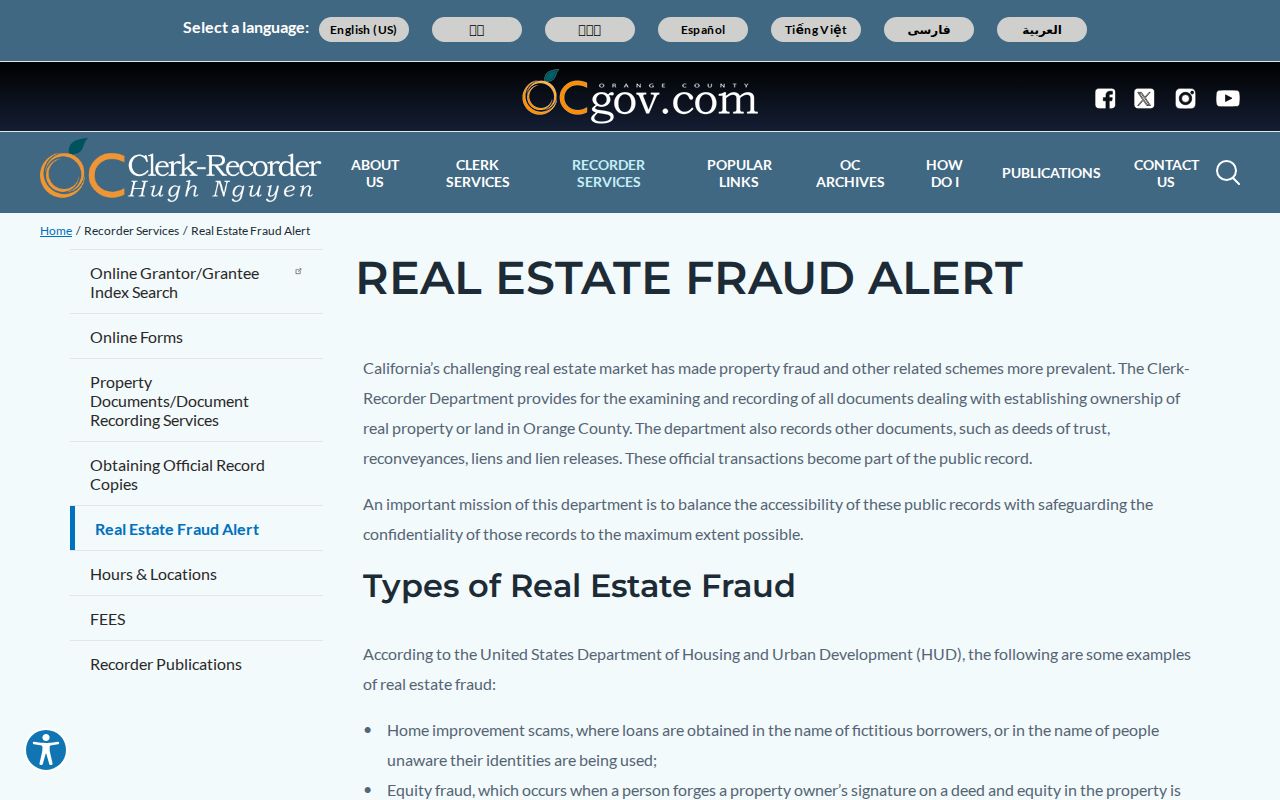
For a Seal Beach block, an unexpected notice is a reason to compare the document reference with the Clerk-Recorder, not a reason to publish a neighbor's details or assume a filing proves a completed transfer.
Seal Beach Voter Lookup Limits
California voter registration is not a public block directory. Orange County's voter-data instructions state that voter information is restricted, commercial use is prohibited, and release requires an eligible purpose and an approved application. The personal status tool authenticates the registrant with date of birth, the last four digits of a California driver's license or state ID, or the last four digits of a Social Security number (SSN) when directed. A first-name prefix may be requested when more information is needed. Those fields are identity checks, not a name-and-address search for someone else.
A qualifying data request is a separate route. The county requires an in-person or mailed application, an original wet signature, identity and supporting documents, a detailed purpose, requested geography, security terms, and payment. Email and fax are not accepted. An approved product may use a city or district, a registration-date range, and selected election history. Public aggregate views by city, district, year, and party are the safer way to describe election geography. Voting history records participation, never ballot choices.
The restricted Orange County voter-data request page shows why a block search cannot be completed by browsing a public street roster.
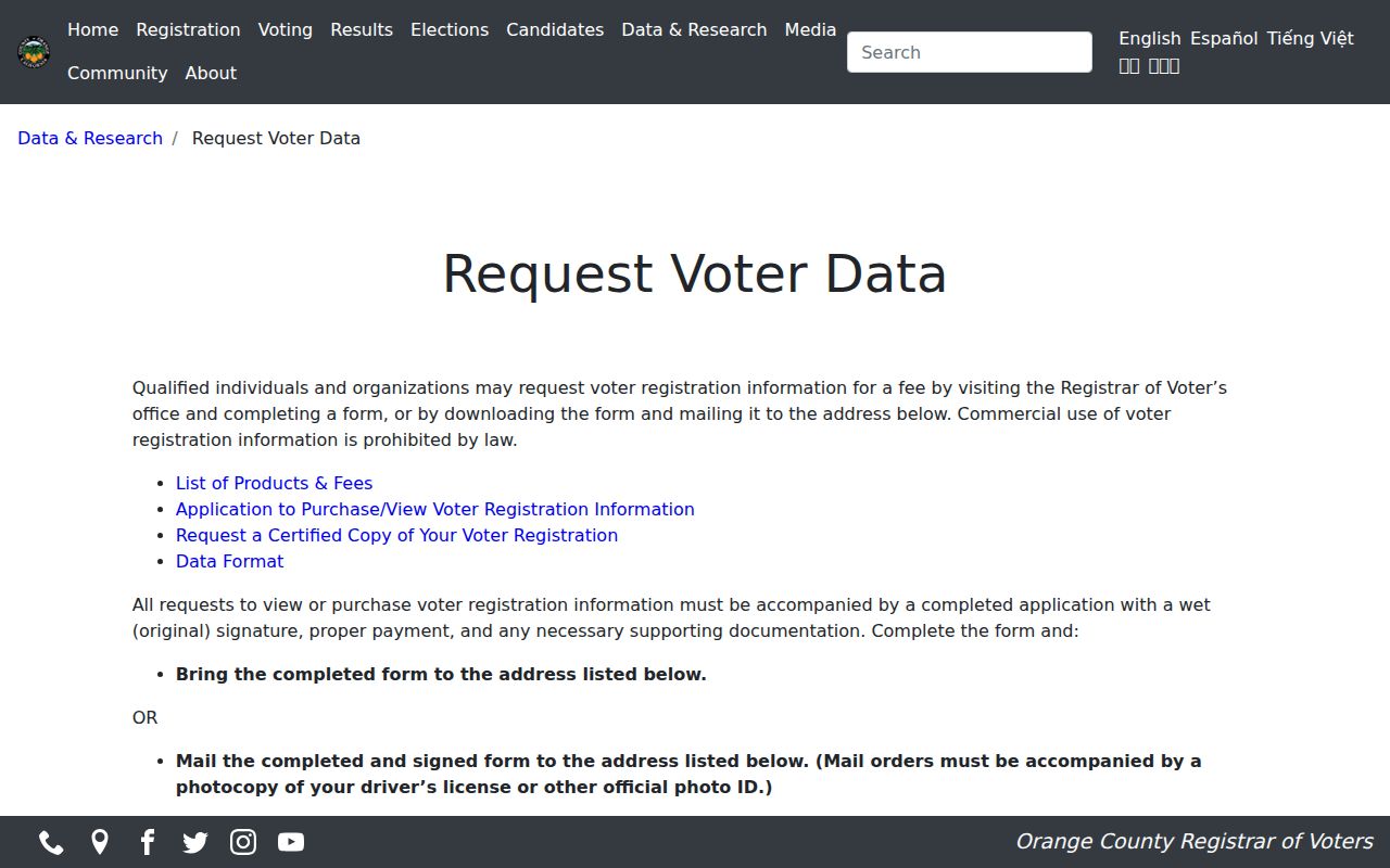
For a Seal Beach neighborhood, use aggregate precinct or district information for civic context. Do not infer that a missing address means a person is unregistered, absent, or outside the community.
Seal Beach Neighbors and Community Contacts
Seal Beach's community names are useful geography, not proof of membership. Seal Beach neighbors may share a planning label without sharing a governance body. The city's community survey uses Old Town, The Hill, Bridgeport, Heron Pointe, Surfside, Leisure World, College Park East, and College Park West. City planning material also identifies Bixby Old Ranch or Old Ranch. Leisure World lies between Westminster Boulevard and I-405 west of Seal Beach Boulevard. College Park East lies north of I-405 toward Lampson, and College Park West sits by the San Gabriel River. These labels help choose a city or governance source before treating two addresses as adjacent.
Roughly 73% of Seal Beach's area is occupied by Naval Weapons Station land, including the Seal Beach National Wildlife Refuge. That federal footprint interrupts the apparent street map, so a mailing label can share the city name with a parcel separated by federal land, a freeway, a river, or a gated community.
| Community or organization | Local role or geography | Governance and directory status |
|---|---|---|
| College Park East Neighborhood Association | Civic and neighborhood organization named in city park materials | Use its public organization channel; no verified member directory |
| Leisure World / Golden Rain Foundation | Gated 55+ common-interest community, about 533 acres and 6,608 units in city planning material | Community governance and publications; no general public roster |
| Surfside Colony | Coastal gated or common-interest community south of Anaheim Bay | Association and architectural role appear in planning records; no public member list |
| Old Town | Downtown and coastal area around the Main Street grid | City geographic label; no umbrella resident directory verified |
| The Hill | Residential area above Pacific Coast Highway | City geographic label; no umbrella resident directory verified |
| Bridgeport | Residential area in city planning and survey material | No public member directory verified |
| Heron Pointe | Residential or common-interest area in city survey vocabulary | No public member directory verified |
| College Park West | Small residential area along the San Gabriel River | No public member directory verified |
| Bixby Old Ranch / Old Ranch | North and east Seal Beach planning area around Old Ranch | HOA structure varies by development; no unified public directory |
The city water-plan description places these areas in a discontinuous geography. Congregations, block watches, clubs, and HOAs may keep private rosters. A publicly posted officer or contact route can help route a question, but it does not authorize publication of members. Surfside and Leisure World have gate and governance rules that a parcel map cannot replace.
Note: A neighborhood label identifies a planning area; it does not establish that a person belongs to an association.
Request Seal Beach Block Records
City Hall is the municipal custodian for council, planning, permit, contract, correspondence, and other city records. The Seal Beach City Clerk routes public-record work, and the California Public Records Act (CPRA) request form asks for each record separately, a review or copies choice, contact details, and a signature. A narrow request can define a block by address range, APNs, cross streets, department, record type, and date range. The Act requires a determination within 10 days, with written notice allowing up to 14 more days in unusual cases. That is a determination deadline, not a promise that production is complete by that date.
Search the Seal Beach WebLink repository before filing. Exact address, APN, project terms, and meeting year can surface planning packets, agendas, minutes, ordinances, resolutions, or correspondence. A practical request flow is:
- State the exact address or APN, nearby cross streets, department, and a defined date range.
- Name the record type, such as permit, planning file, hearing packet, code case, easement, or agenda correspondence.
- Ask for an existing electronic format and accept a rolling production when a narrow request still contains several records.
- Allow lawful redaction of personal contact details, complaint-source identities, or other exempt material.
Permit and planning records may identify an applicant, owner, architect, contractor, or project, but they do not establish every occupant. If a file is not posted, request the address or APN rather than asking for a complete resident list.
Official Seal Beach Records vs Commercial Profiles
Official records and commercial neighbor profiles answer different questions. Official sources have named custodians and defined fields, but each is partial. A commercial product may merge property, marketing, and inferred-household data, retain obsolete addresses, and join unrelated same-name people. It can be a lead at most, never a substitute for an APN, deed, city file, or lawful community contact. A category result should not be presented as a verified neighbor.
| Source category | Best use | Limit to keep in view |
|---|---|---|
| Parcel, assessment, and tax records | Connect an address to an APN, assessed owner context, situs, and mailing relationship | Does not establish every occupant or owner occupancy |
| Recorded documents and city files | Confirm dated parties, property instruments, permits, hearings, and project history | Index, redaction, and access limits apply; a party is not automatically a resident |
| Community governance sources | Find public contacts, boundaries, rules, and resident-service channels | Private rosters are not general public records |
| Commercial compiled profiles | Offer a possible lead for lawful personal research | May be stale, inferred, merged, incomplete, or difficult to correct |
Family-history work, reconnecting with a classmate, civic curiosity, and scam awareness are narrower uses than trying to map everyone near an address. When a parcel search surfaces an unexpected recording, compare the original index and custodian record. Public records can be wrong or incomplete, and a commercial profile does not cure that gap.
Note: A commercial profile remains unverified until the original parcel, deed, or city record supports its claim.
Privacy Limits for Seal Beach Neighbors
Some nearby residents will not appear in an ordinary parcel search. Renters, adult children, lodgers, and other household members are not comprehensively named by the assessor or recorder. Utility customer lists, delivery records, and casual DMV address lookups are not lawful substitutes. A trust or entity may hold title, a mailing address may be outside Seal Beach, and a public file may redact contact details or complaint-source identities.
California's Safe at Home program supplies a substitute mailing address and confidential mail-forwarding service for qualifying survivors of domestic violence, stalking, sexual assault, human trafficking, child abduction, and elder or dependent-adult abuse, along with specified health participants and public workers facing threats because of their work. Enrollment normally occurs through a designated enrolling agency. Government Code section 6208.1 restricts public display of a participant's home address or telephone number after a written nondisclosure demand and protects household information when display is intended to threaten or cause physical harm. Safe at Home can also make voter-registration information confidential.
A search that returns no home address does not prove that a person never lived in Seal Beach. Confidential voter status, Safe at Home, record sealing, an entity holding title, and redaction rules can remove or replace ordinary address clues. California Penal Code section 646.9 and Code of Civil Procedure section 527.6 also place limits on repeated harassment, threats, and conduct without a legitimate purpose.
Lawful use. Use a Seal Beach neighbor lookup for personal research, family reconnection, civic curiosity, or safety awareness. Do not use records to follow, monitor, threaten, intimidate, or harass a person.